Solo hike to Schnebelhorn
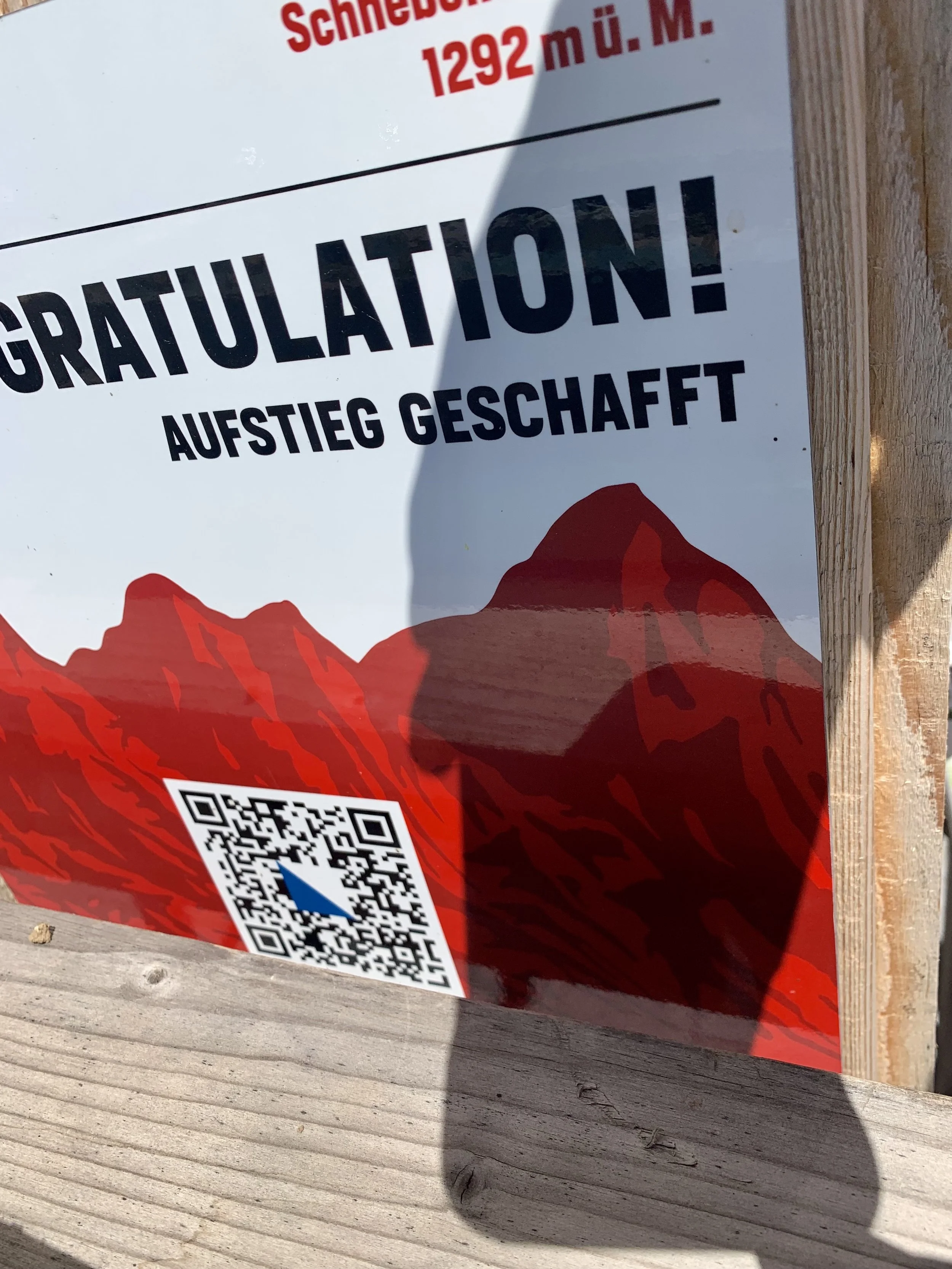
In my search for hikes, I ran across a website called 26 Summits. It’s a competition sponsored by Ochsner Sport where you can collect points for hiking to a summit in each of the 26 cantons of Switzerland. Each year they choose the summits and upload all the information on their website. When you hike one of the trails, you find the QR code that’s posted somewhere along the way (near the top) and scan it to collect your credit. There are prizes to be won, but we aren’t winning any hiking competitions. I just wanted to try to go by myself, and I chose the hike located in Canton Zürich for my first real solo hike.
I think this was a Wednesday, and I decided that morning when I got up to go hike up Schnebelhorn. It was about a 1.5 hr train ride, first to Rüti, then change and catch a tram to Steg. The beginning part of the hike took me through the main drag of Steg (which wasn’t very far), but then the path just kept going and going without ever going UP. I walked nearly 3.5km before I ever got to the beginning of the ascent.


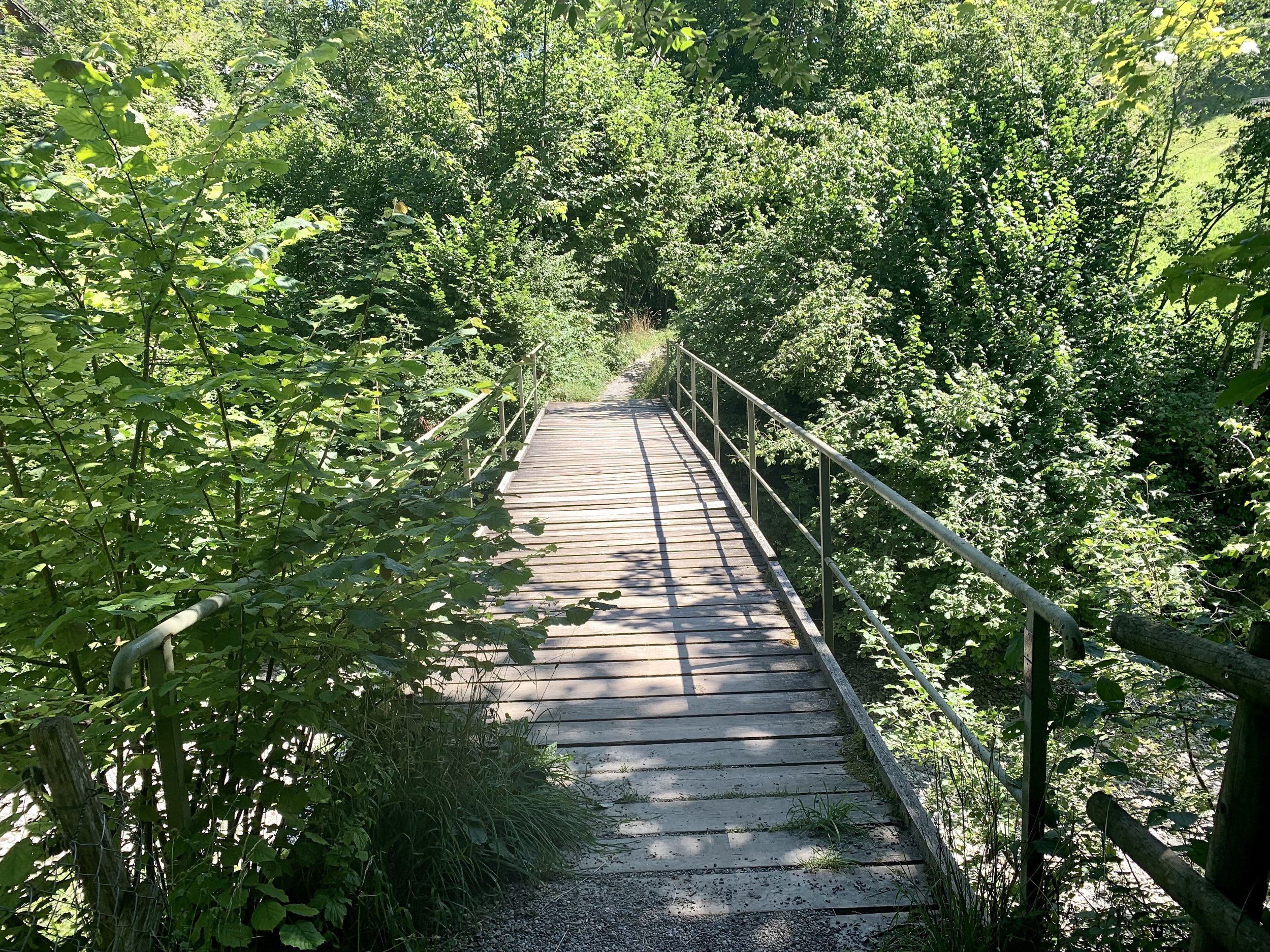
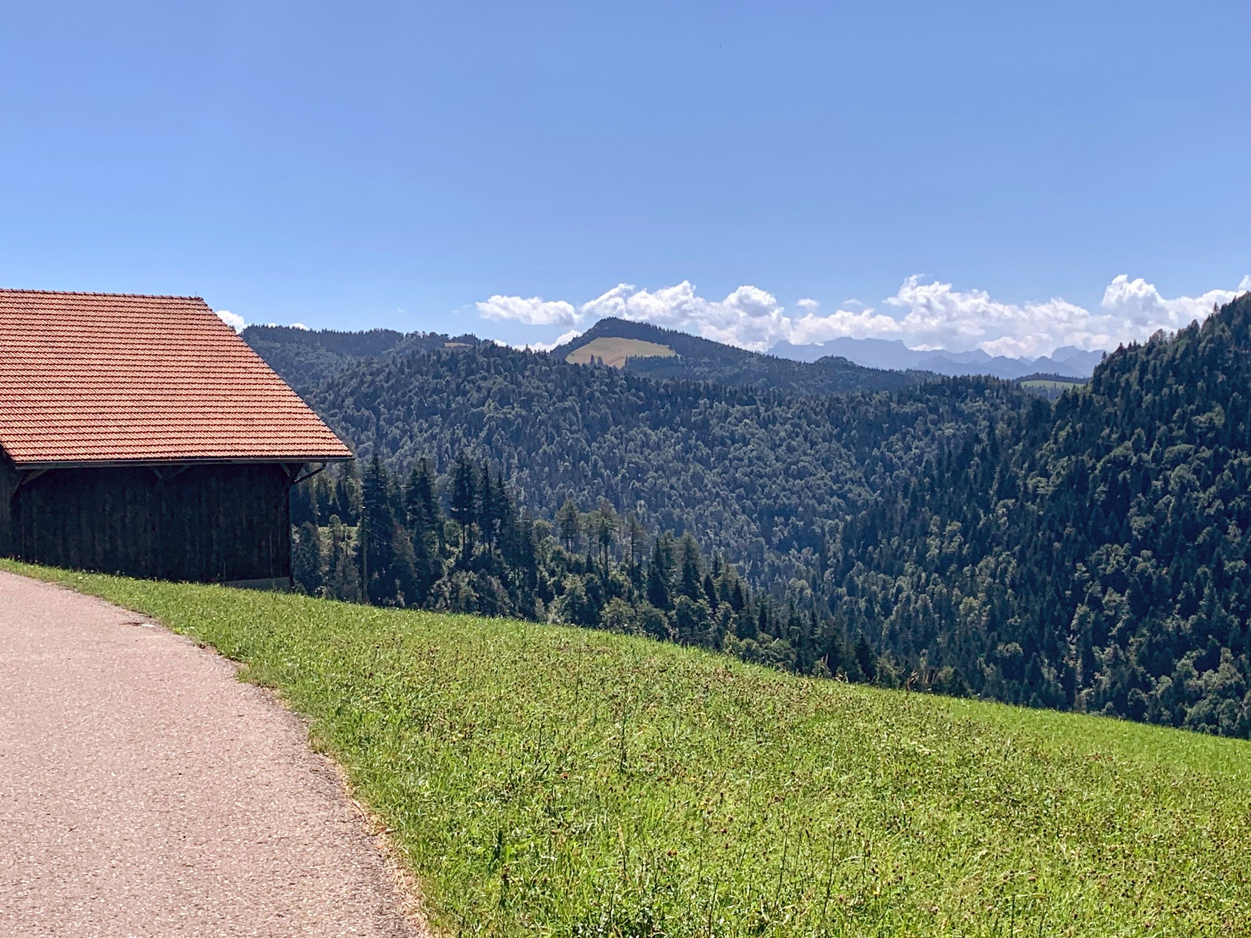
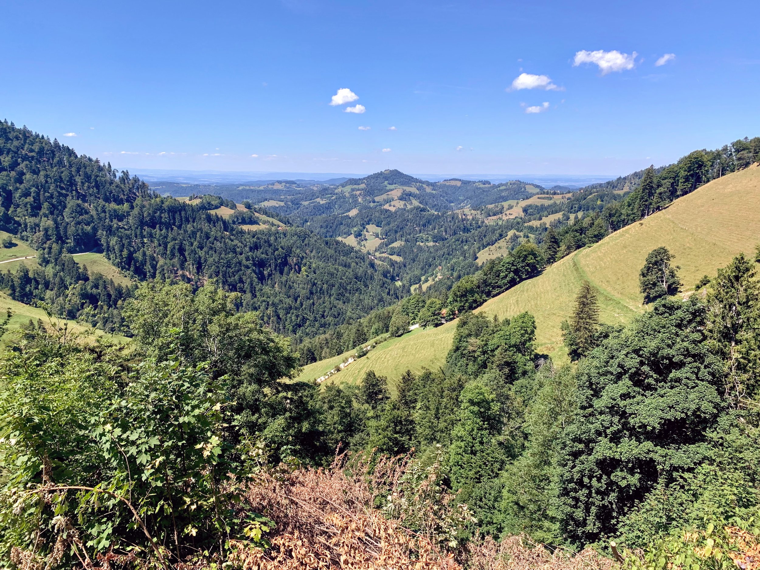
The first part of the climb was pretty steep, and it was in the forest so it was dark and damp and boring. I finally got up to a clearing, and I was ready for a water break. These are the photos below.
I got stung on the back of my neck by a bee while I was enjoying my break.
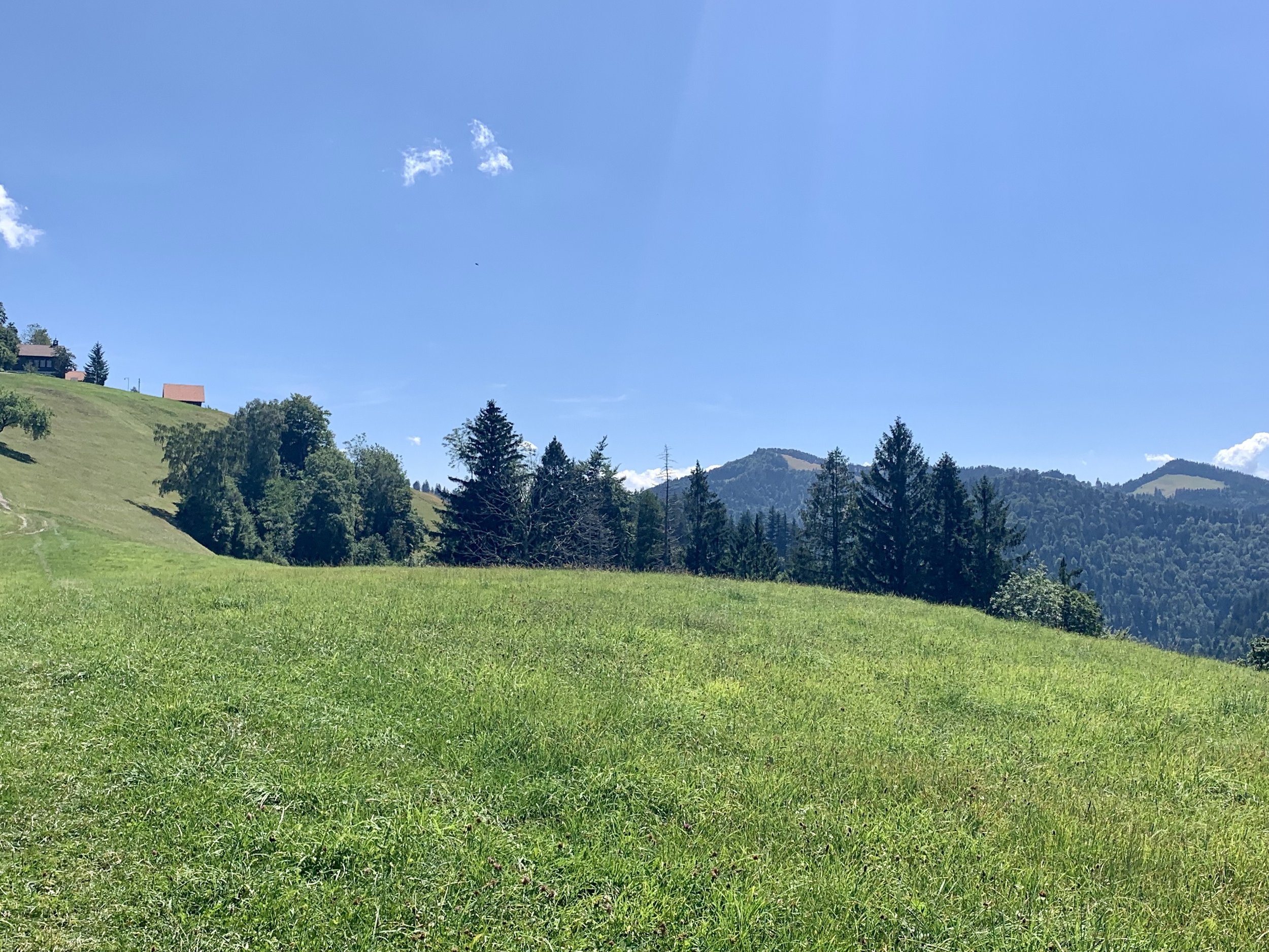
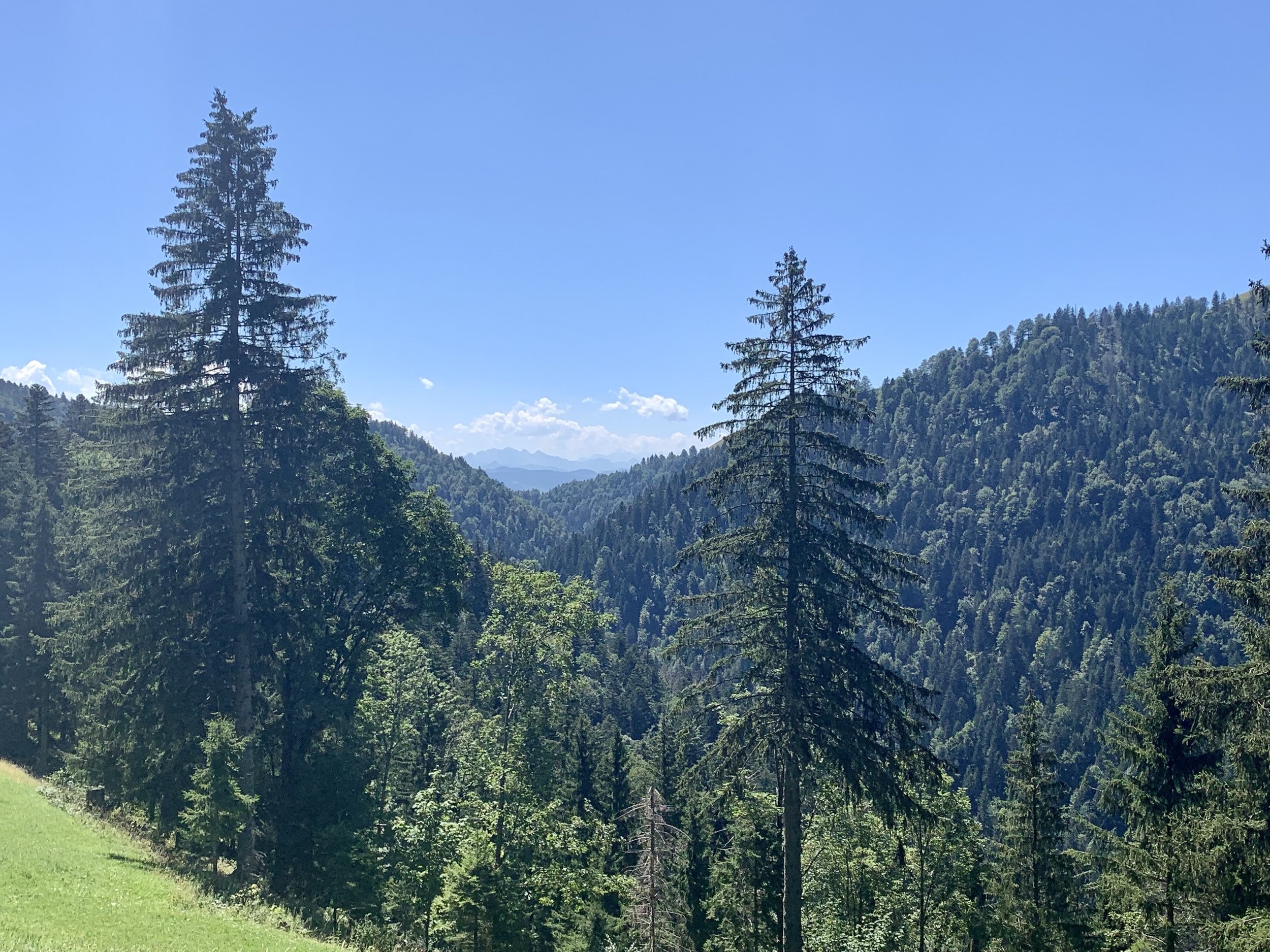
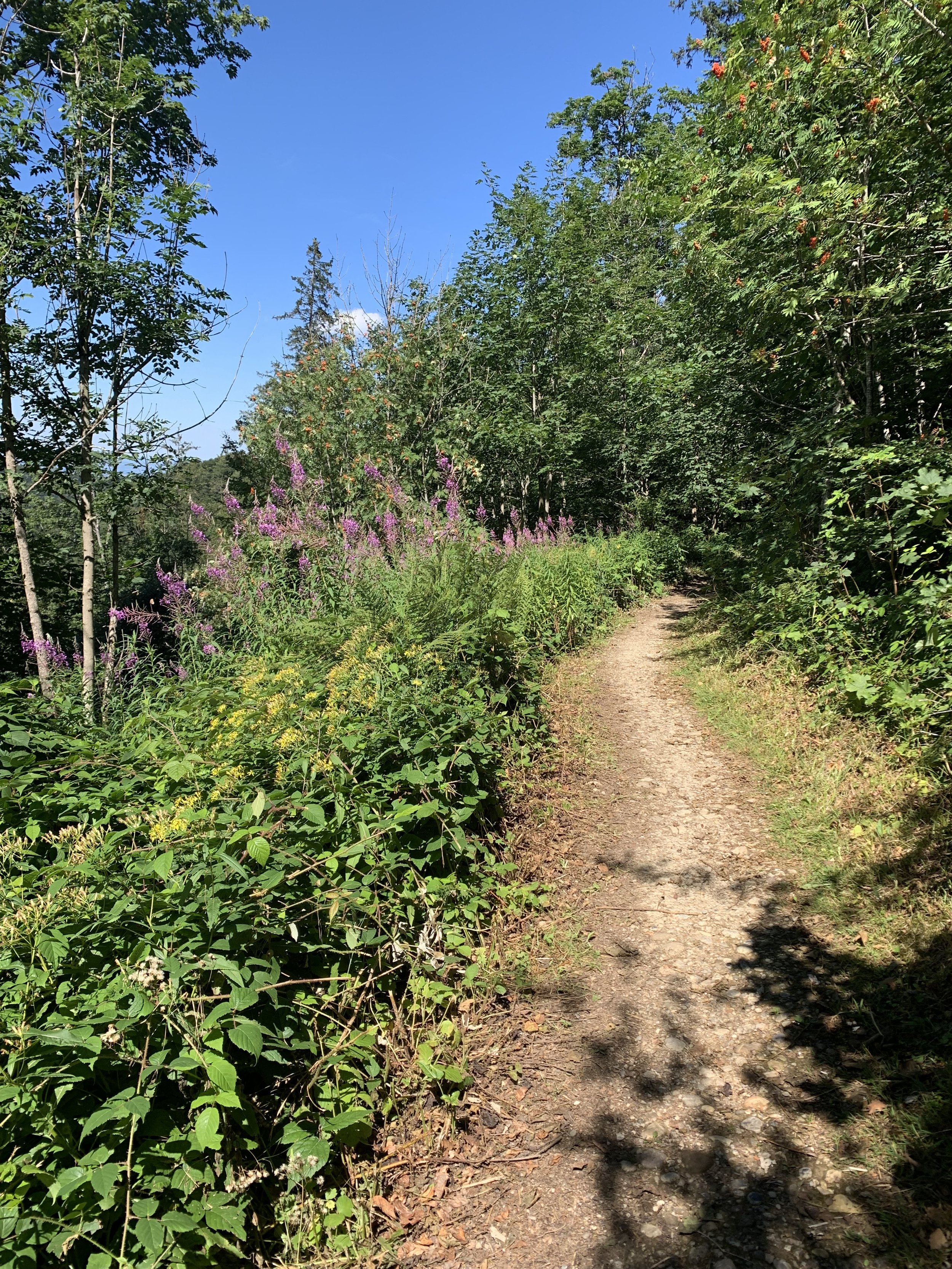
Leaving that clearing, more flat walking. Probably at least 1.5-2km along a paved road with no appreciable ascent. The lack of snow from back in the winter and lack of rain from this summer have prompted a burn ban, and there were signs posted on every fire pit and BBQ pit along the hiking trails.


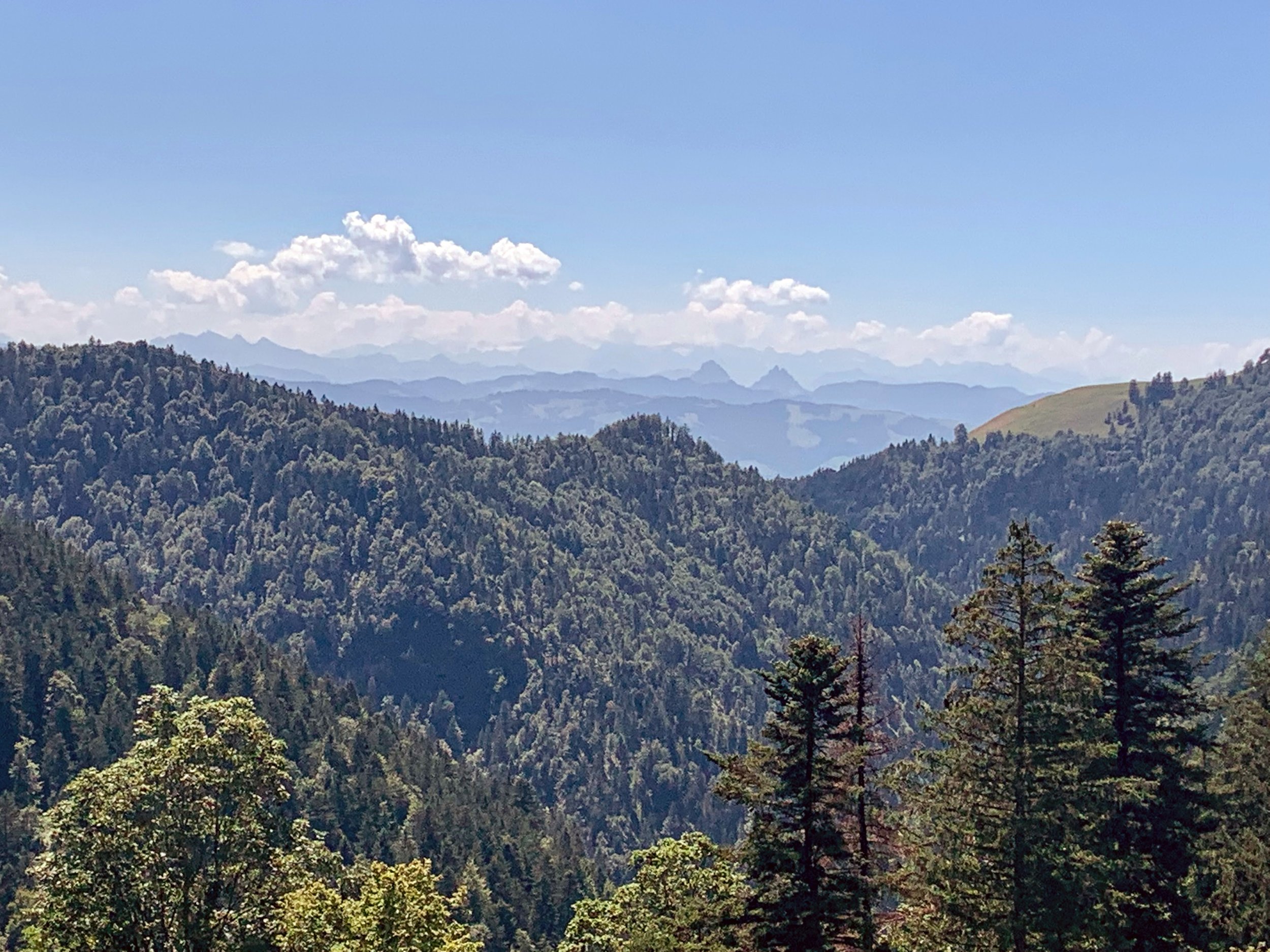
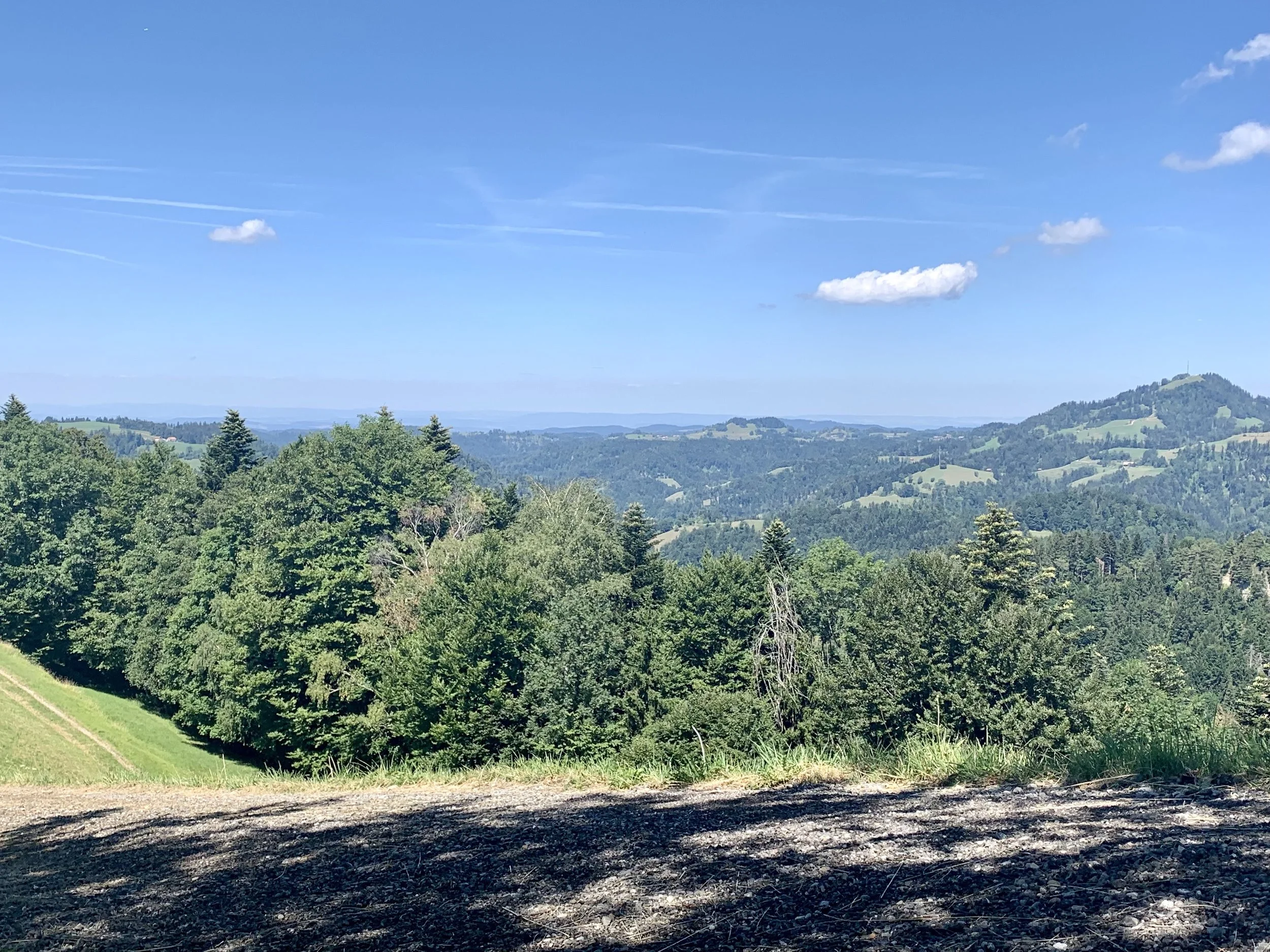
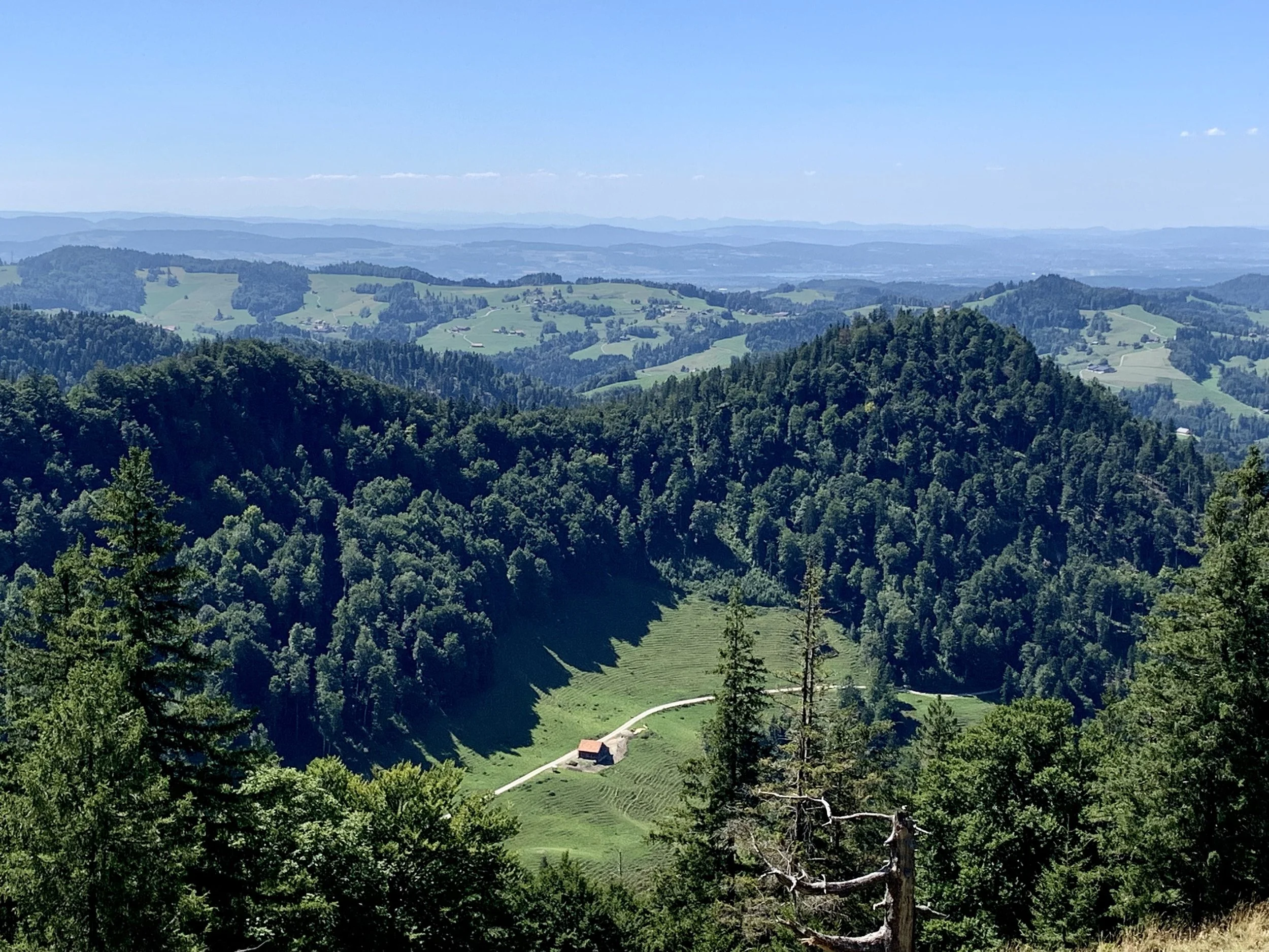
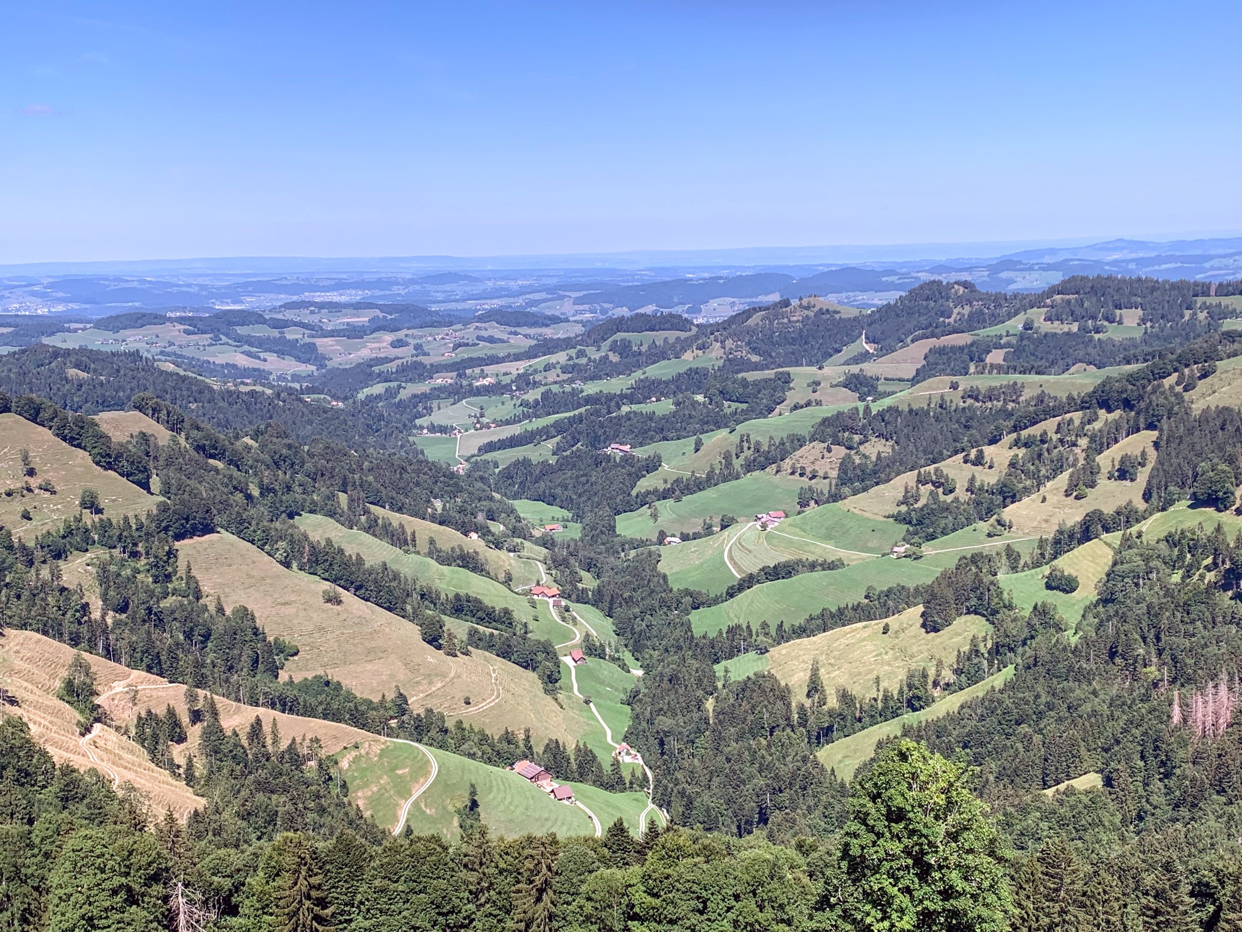
I finally made it up to the restaurant for some lunch. Pommes frites and a Cola normal. I also found the magical QR code. It was blocked by a table and a stack of chairs that had been moved in front, but I was able to move them out of the way to get the full shot. The views from the Tierhag Restaurant were pretty. There still was a bit of an ascent before the top of Schnebelhorn, so I headed that way after my meal. This part was really, REALLY steep and rocky. But I made it to the top of Schnebelhorn all by myself!


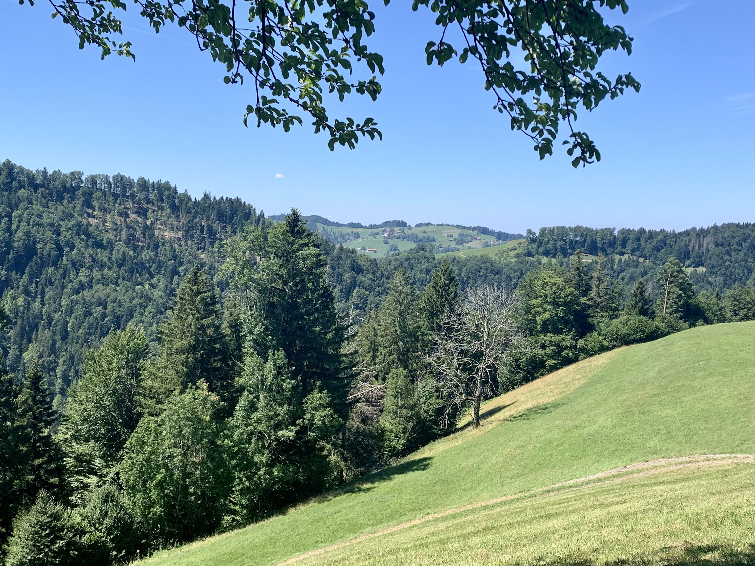
At this point, I realized that my phone had discharged more than normal, so I pulled out my charging brick to top it up. After enjoying the views from the top for a little bit, I began to head back down to Steg. I checked my phone and discovered that my charging brick wasn’t working, so I had to put my phone on low-power mode in the hopes of conserving enough charge to use the SBB train app get me back home. This meant not checking maps nearly as much as I’d like. Luckily, Switzerland marks all the hiking trails really well, so hiking without Google maps is totally possible.
I met some cows on the way down. I love meeting cows. Swiss cows are very friendly.


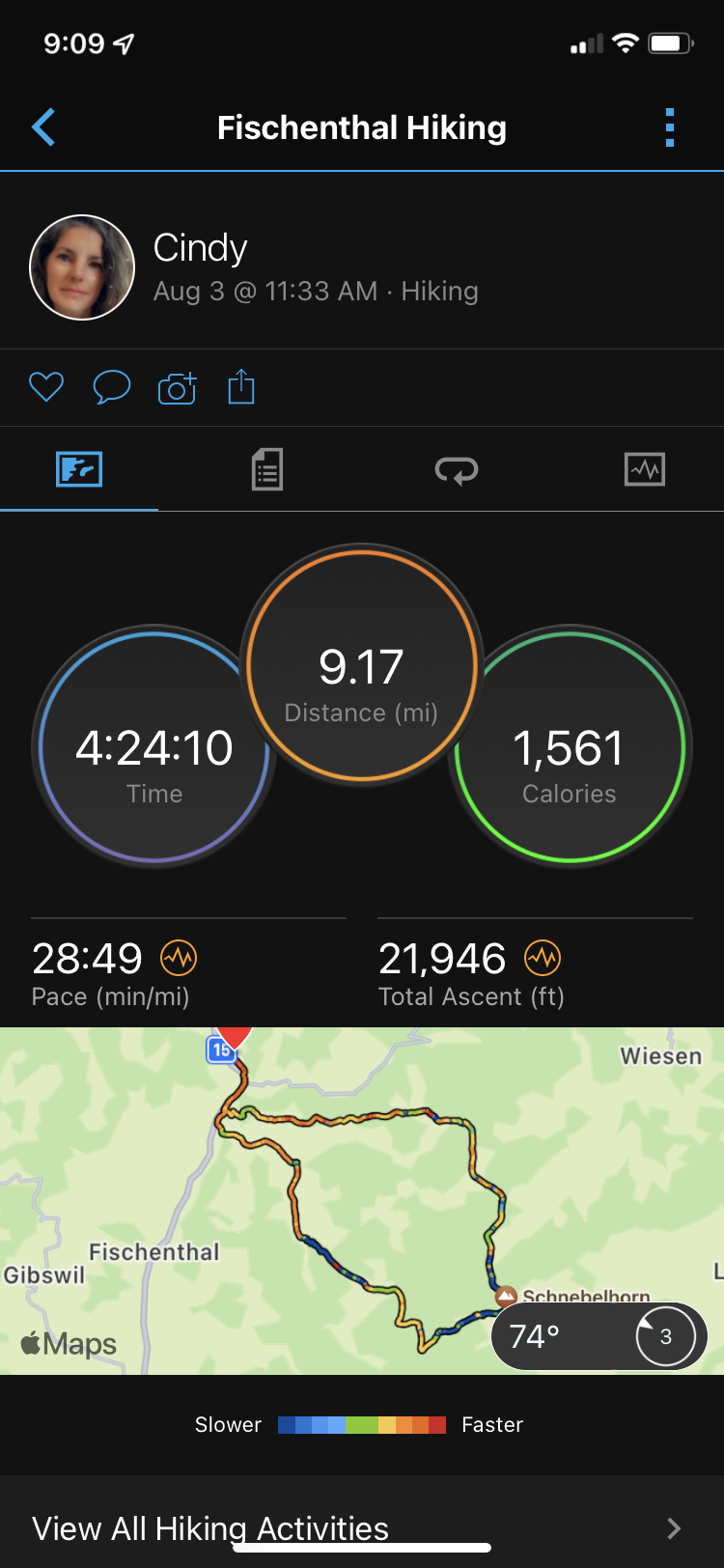
This was a really nice hike. Probably not one that I’d go back and do again, but it was nice. It was almost 15km long (9miles) and took me 4.5 hrs (plus about 3 hrs train transit time).