Weekend trip 2 Part 2: Engelberg
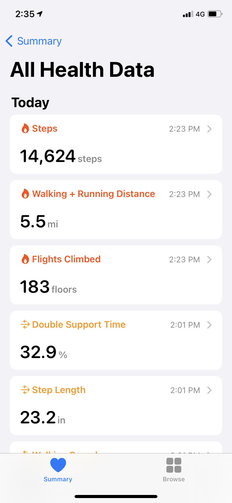
Saturday morning we got up early for our hike (8am) and had breakfast at our hotel. Luke chose the sausage, eggs, and beans breakfast. We found out from the woman at the front desk that the name of the really large mountain we could see from our balcony is Hahnen. Apparently some monks had a vision of angels flying out of Hahnen and they up and moved to the area to establish a monastery. That is why the town is called Engelberg (engel = angel, berg = mountain). The desk lady also pointed us toward the gondola and trail. Go through the train station and turn left. More like go through the train station and follow all of the people getting off the train ready to hike with their backpacks and gear. Our plan was to hike up to the Trübsee (Trüb lake aka Cloudy Lake), which is about halfway up, and located at the foot of Titlis. So we stopped to purchase tickets to ride the gondola back down at the end of our hike. This hike is listed at around 800m of elevation. Engelberg is already at 1000m elevation.
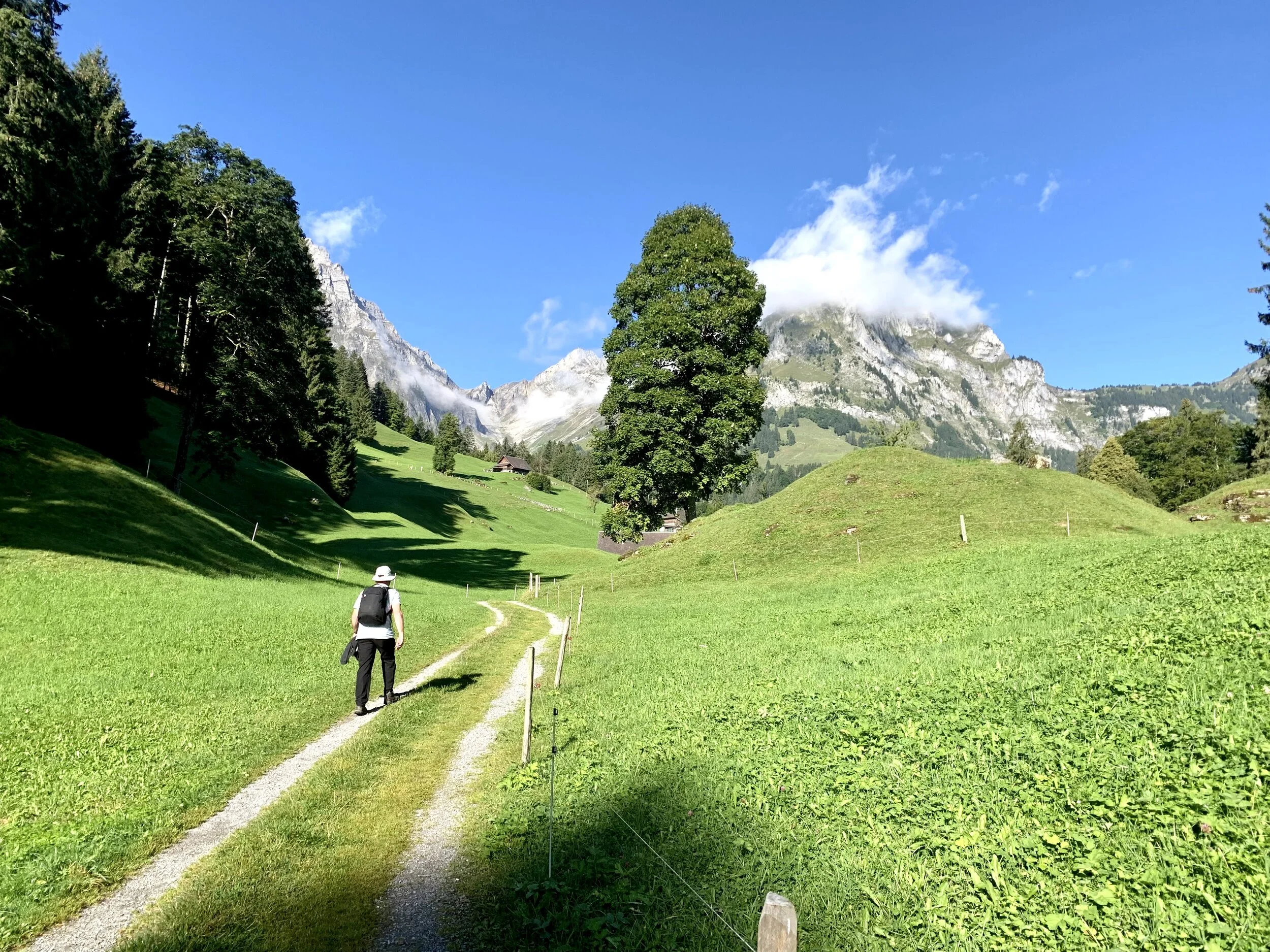
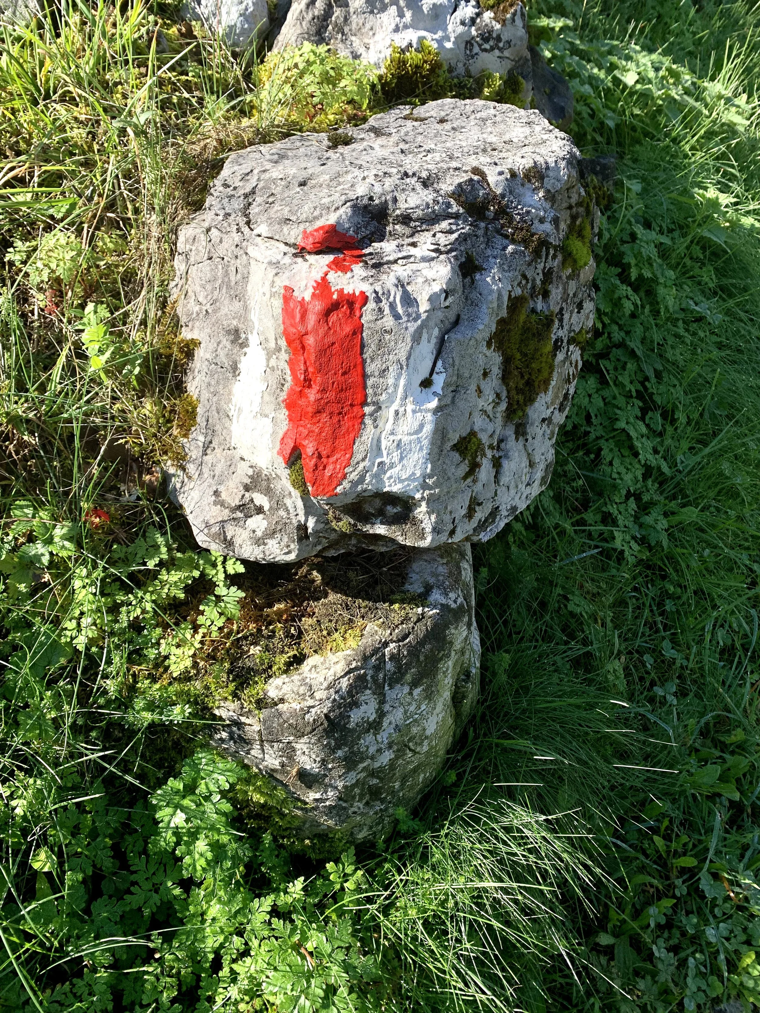
This is the very beginning of the trail. All of the trails that we have been on are very well marked by signs, but you can also follow the little red/white spray paint markers when things get dodgy. This first phase of the hike was through some farms with sheep and cows. Sheep! And Cows!
Once we got past the farms, there was a road marked Attention Oncoming Traffic (Achtung Gegenverkehr). There was some bike traffic and some motorcycles, but mostly tractors coming through. The next phase was a lot of switchbacks on a dirt path, and it was tricky so I don’t have any photos of it. When we made it through that part alive, there were more cows and a FLAT PART. My favorite part! We made it to the restaurant Untertrübsee, aptly named because it is located below the Trübsee.
The next part took us through the woods, which was tricky as well as chilly from the shade. It’s weird to be both sweaty and cold at the same time. We reached the halfway point (400m), so we sat on rocks and had celebratory beer and Cokes. You can guess who had what. Then out of the woods still along a rocky path. Luke found a really big rock to climb.
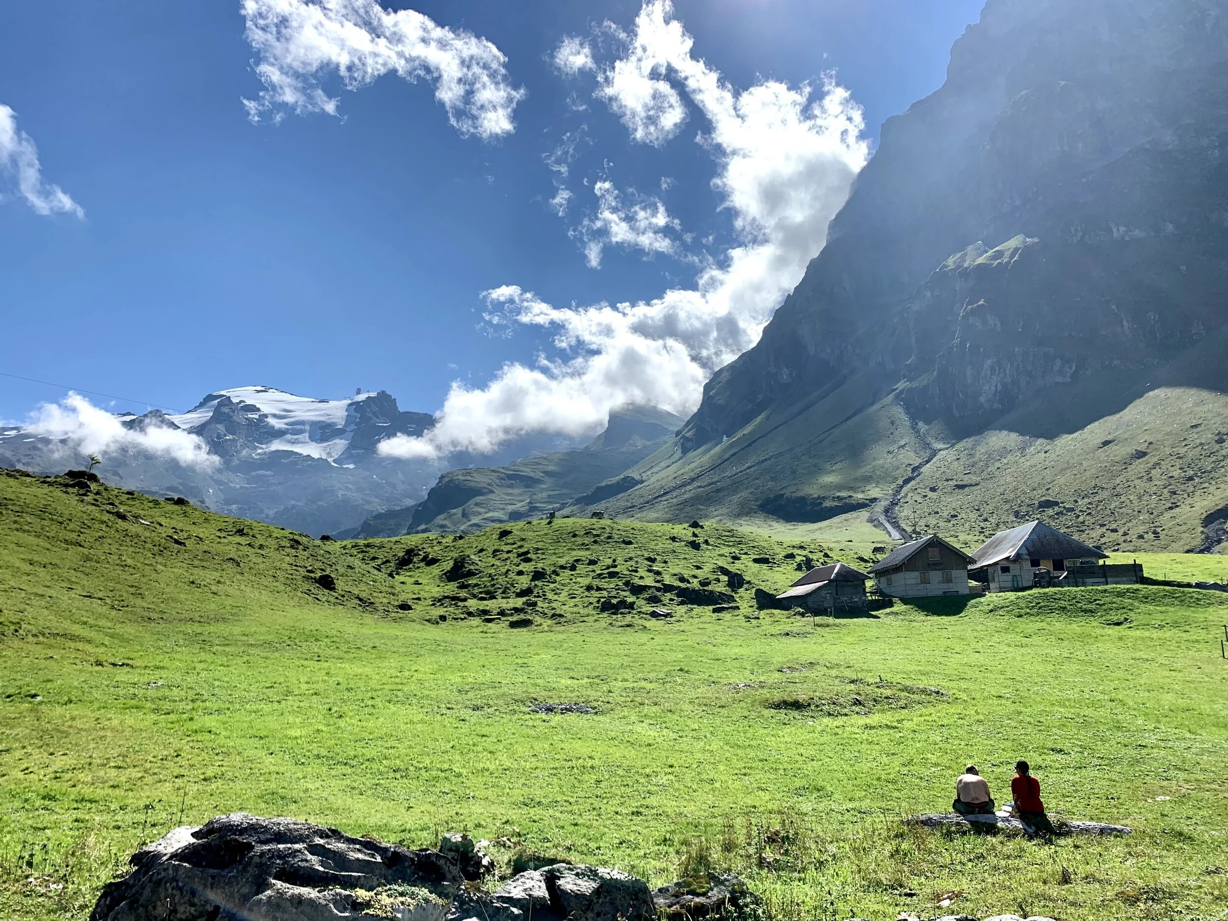
This was the last bit of the hike before we reached the lake. The clouds were starting to roll in at the lower elevations, so it looked really cool. I also took a video of the cowbells that you constantly hear on the hiking paths. So cool.
Finally, the lake! We came out on the far side of the lake (in relation to the gondola stop). That’s where we stopped to eat lunch snacks. Then we walked to the other side where the gondola stop is located. There were a couple of restaurants, several playgrounds, some grilling areas, boat rentals for the lake, etc.
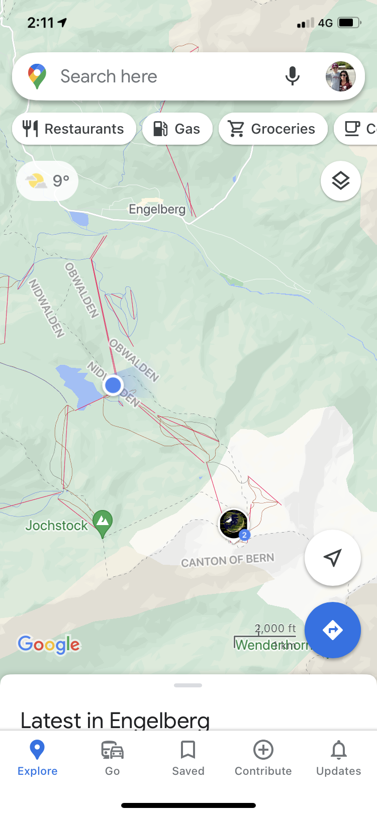
There were another 2 gondola stops up on Titlus. I made it to Strand stop, but decided to go back down instead of going all the way up. Cass and Luke made it all the way up though. I watched them on Google maps. It was about 8°C up there and covered with snow.
I collected 2 more canton stickers. Technically I could have collected Nidwalden as well, because the lake is just inside that canton. If the weather is good this weekend, our next hike might be near the border with Lichtenstein.


